Shaping the Landscape: Cartland Craigs & Cleghorn Glen
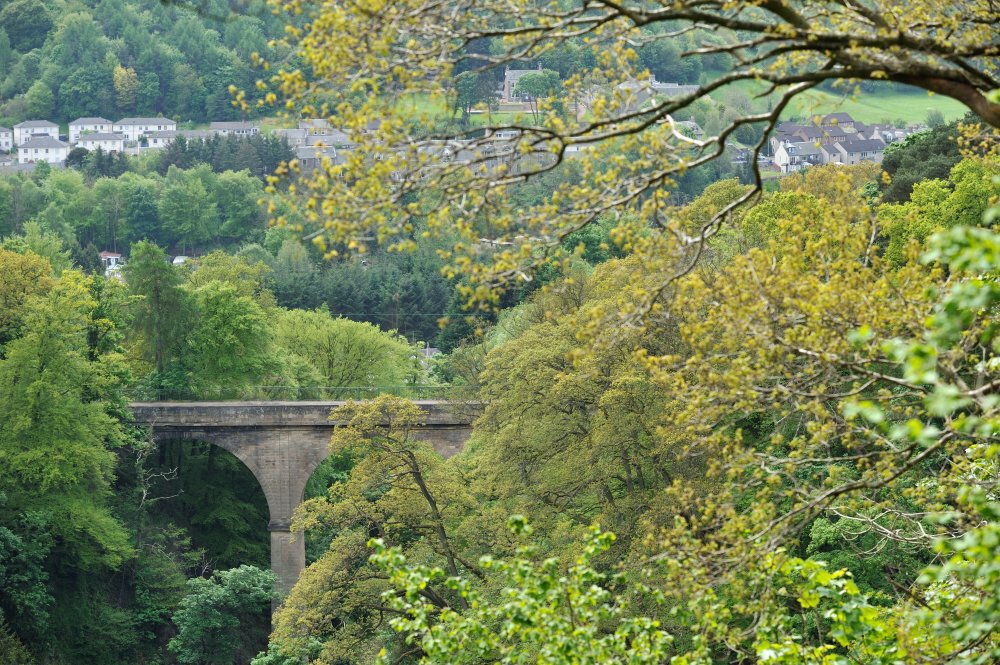
A deep gorge, a castle and the highest bridge in inland Scotland
The geological sites and features of the Clyde and Avon Valleys tell a dramatic story of the development of the landscape over 400 million years, from ancient sandy streams and river deltas to swampy forests and glaciers. The rocks and rivers which shaped our landscape and our history remain a source of power, havens for woodland and wildlife, and places of recreation and creative inspiration today.

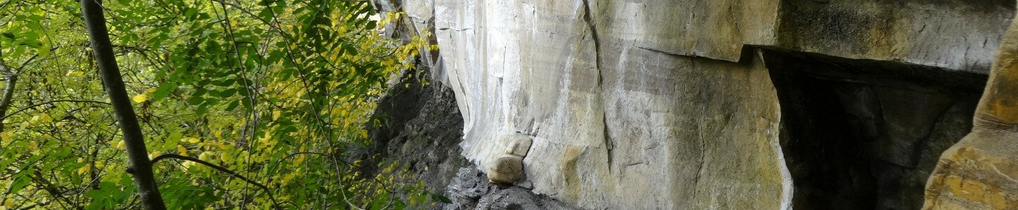
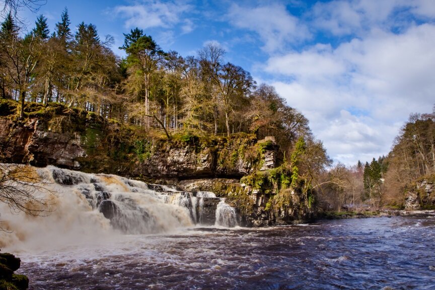
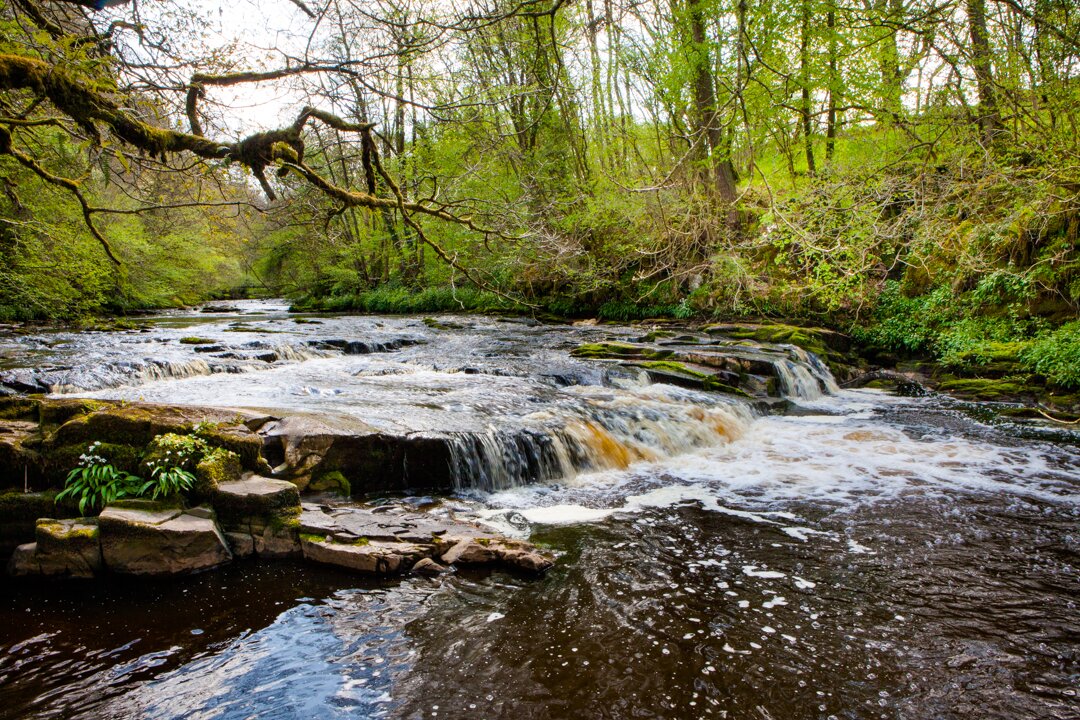
The early Devonian rocks of the Clyde and Avon Valley area are part of the Swanshaw Sandstone Formation. The sandstone has a characteristic reddish or purplish colour where it is exposed in the gorges of the Falls of Clyde and Cleghorn Glen.
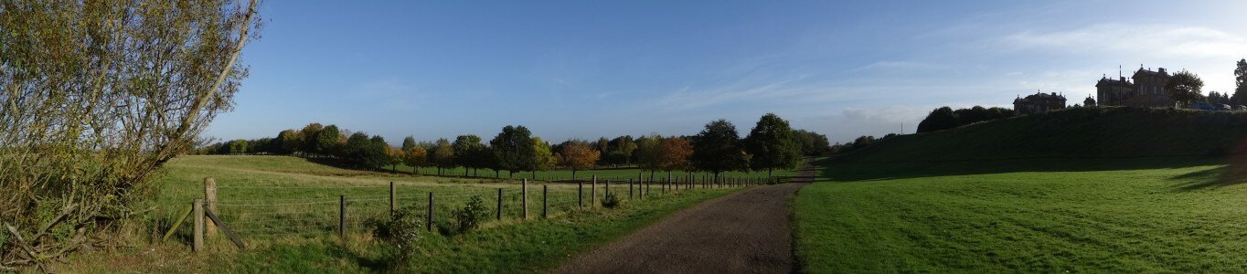
The deep gorges that occur throughout the Clyde and Avon Valley area are unsuitable for agriculture or other development and many harbour ancient woodlands with great biodiversity.
The spectacular Cartland Bridge, designed by Thomas Telford, crosses the Mouse Water at the lower end of the gorge of Cartland Craigs. The depth of the gorge at this point makes Cartland Bridge the highest bridge over inland water in Scotland.

The woodland nature reserves of Cartland Craigs and Cleghorn Glen are formed in the deep valleys cut by postglacial streams. Together with sites like the Falls of Clyde, the Nemphlar Channel and the Avon Gorge, these features demonstrate the dramatic postglacial reconfiguring of the drainage system of the Clyde catchment.
The Devonian to Carboniferous sedimentary rocks here are dominated by sandstone, siltstone and mudstones with limestone and coal seams. Older Devonian strata are found in the Clyde Valley to the south of Hazelbank and Cartland, with younger Carboniferous strata to the north and along the Avon Valley
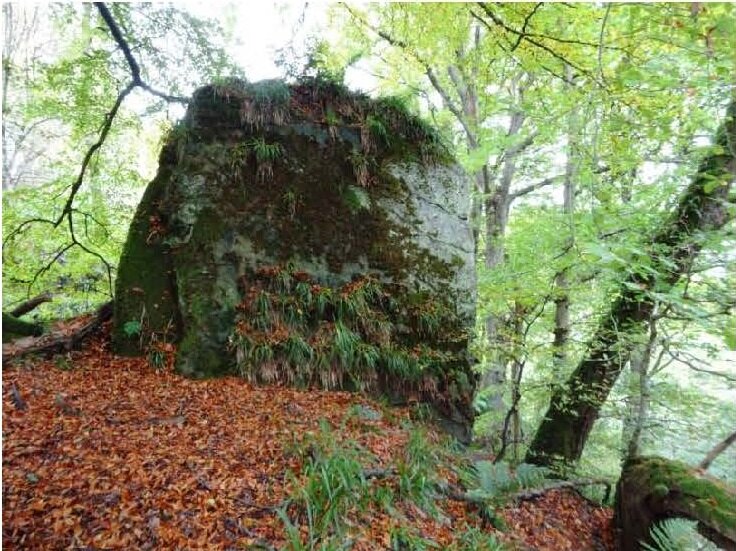
Interestingly, almost every gorge has its own castle and Cartland Craigs is no exception. In this case, the mysterious earthworkings of Castle Qua can be found perched at the top of the precipitous cliffs. It is believed to be a medieval structure but investigations are still ongoing.
The geological sites and features of the Clyde and Avon Valley tell a dramatic story of the development of the landscape over 400 million years, from ancient sandy streams, river deltas, swampy forests and glaciers. The rocks and rivers of this story shaped the heritage, and remain a source of power, havens for woodland and wildlife, and places of recreation and creative inspiration today.
Travel through time to reveal the hidden history in the rocks and landforms by exploring the other ‘Shaping the Landscape’ museum items. Read the full report by clicking on the ‘Shaping our Landscape Trail Report’ link under ‘Find Out More’, to the right. Whilst many ‘Shaping the Landscape’ sites are accessible to walkers, some sites are inaccessible, but featured as museum pieces to help demonstrate the development of the Clyde and Avon Valley.


